Map Printing
Print tool
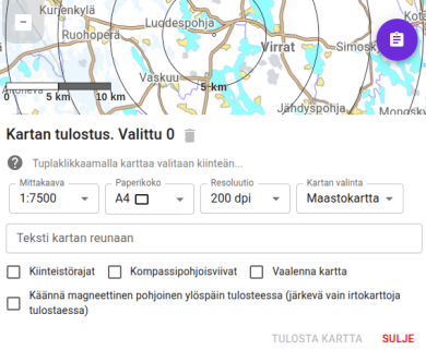
Karttahimmeli has built-in print tool that respects active filters. You can print, for example, map showing only selected team areas.
Printing is opened from map view: first select desired map and filters, then open print tool. The print tool is found behind the map selection button in the lower right corner.
iPhone compatibility
Printing is not available in the iPhone app. Use the browser version (Safari or Chrome) on iPhone instead.
Selecting print area
Print area is selected from map in two ways:
- Single map sheet: click desired location and print area centers there. Click same location again to remove selection.
- Grid: double-click creates map grid automatically, then expand by clicking neighboring cells. Good for larger command wall map.
To deselect a page, click it again. Clear all selections with the bin icon .
Grid and north-up orientation
Grid selection works only when map is in normal (not rotated) orientation. With magnetic-north rotation, grid cells become skewed.
Scale and print settings
Print at correct scale
Always print at 100% size, not "fit to page". Many printers default to fit-to-page, which shrinks map and breaks scale.
Top text ("This area is not printed") is only a reminder of printer margins, it does not appear on actual print.
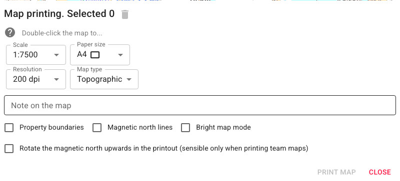
Before selecting print area, you can set:
- Scale - for example 1:10,000
- Paper size - A4, A3, etc.
- Magnetic north up - map rotates so magnetic north is at top
Both north orientations support printing magnetic north direction lines, which are needed for taking compass bearings.
You can also add text to be printed in the map margin, for example the command post phone number or team identifier.
Recommended settings for search team map
- Map: Mapant or terrain map
- North lines: yes (magnetic)
- Property boundaries: not recommended (can mislead in terrain)
- Map lightening: consider if there are many markings
Command wall map
For command post, larger grid map can be printed:
- Select larger paper size (A3 or multiple A4 sheets)
- Double-click and expand grid as needed
- Add comment text (for example command post number or operation ID) which is printed at bottom of map
Printing can be repeated as operation progresses so map reflects latest entries.
Cut before taping
Cut the top edge and right edge of each printed map sheet along the edge of the white area using scissors. This lets the sheets overlap and be taped together seamlessly, without white gaps between the map sheets.
Search and addresses in printing
Before printing, verify map is centered to correct location. Address search is behind magnifier button. Enter street address or place name and map moves automatically.
Coordinate search
Search field also accepts coordinates in multiple formats (WGS84 decimal degrees, degrees and minutes). Karttahimmeli tries to detect format automatically.
Exporting Maps to a Drone Controller
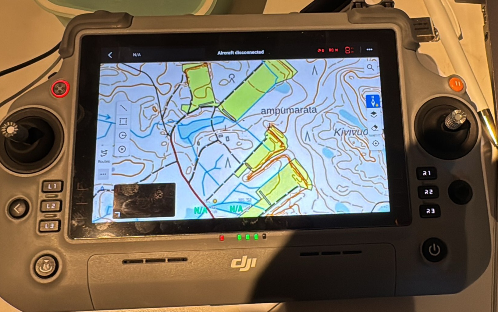
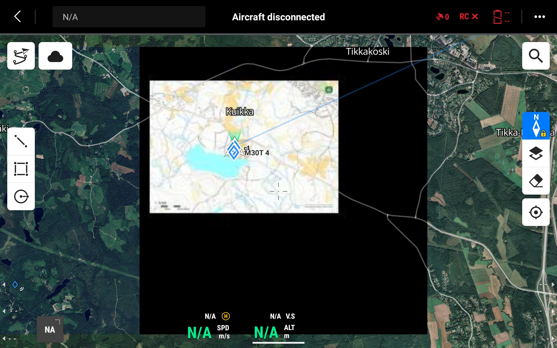
Karttahimmeli supports exporting maps in MBTiles format, which is an offline map format compatible with drone controllers. This allows you to load the operation area onto the drone controller in advance — even in areas with no network connectivity.
How it works:
- Select the desired area using the print tool as usual.
- Choose MBTiles as the export format.
- Transfer the downloaded file to the drone controller (e.g. DJI RC or similar).
- The controller uses the map offline during the flight.
The key benefit is that the drone controller displays exactly the same operational picture — including markings — as the rest of the team sees in Karttahimmeli. This improves shared situational awareness, especially in areas with poor or no mobile data coverage.