Maps and Navigation
Map selection
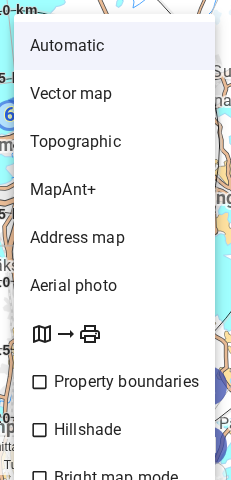
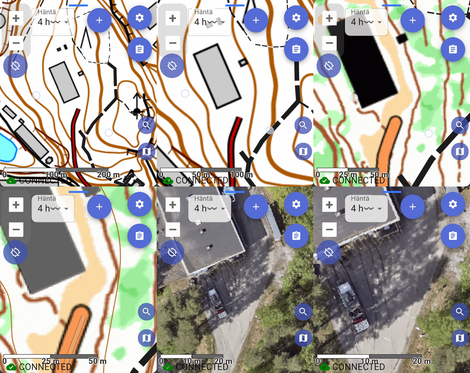
Karttahimmeli automatically selects the best map for the current zoom level. You do not need to switch maps manually. Zoom in/out is enough.
| Zoom level | Automatic map |
|---|---|
| Wide overview | "Road map" |
| Working view | Terrain map |
| Detailed view | Mapant ("ant map") |
| Full zoom | Aerial imagery |
You can also switch maps manually from the map selector on the right side.
Map options
Terrain map
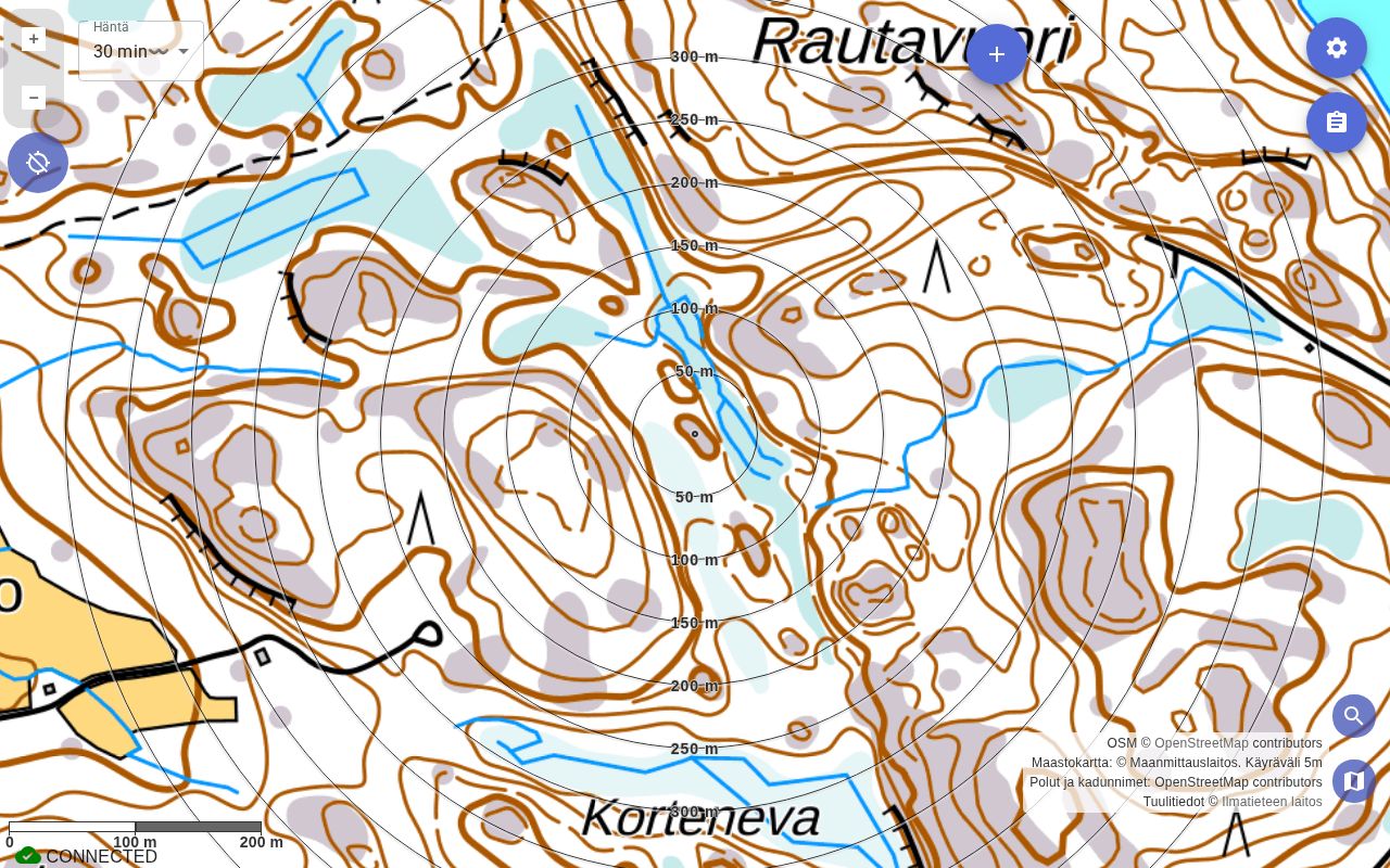
Standard terrain map. Contour lines were drawn manually for original 1:20,000 scale. At high zoom, no additional detail appears.
Vector map
In Finland, this is a map based on the terrain map data. It is especially useful in urban areas, where the raster image is often very colour-dense, making markings and teams hard to make out.
Outside Finland, the vector map uses an OpenStreetMap-based vector dataset.
Mapant ("ant map")
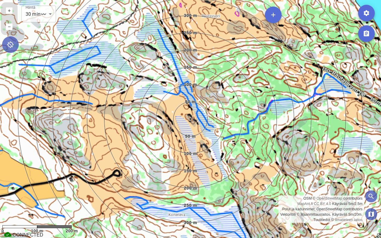
Mapant is automatically generated from lidar data and resembles orienteering map. It shows terrain forms more accurately than traditional terrain map.
Green means dense vegetation, orange means open area. Black dots show steep rock or exposed stone.
Why Mapant is often best
Mapant contour lines are machine-generated from lidar data, so they often match real terrain forms better than manually drawn terrain map. With Mapant, self-positioning in terrain is often significantly more accurate.
Differently coloured contour lines in Mapant
Some contour lines in Mapant appear in a different colour — these are negative contours: depressions where the surrounding terrain is higher than the hollow floor. Examples include pits, sinkholes, and ditch edges. The different colour is intentional, not a map error.
Aerial image
At close zoom, Karttahimmeli automatically switches to aerial imagery. Useful when you want to understand what kind of area it is, e.g. in a built-up area.
Address map
In urban areas address map is often best. Addresses are clear and area layout is easier to understand by streets.
Lightened map
When there are many map entries, map can be lightened so entries stand out. Setting is under map selection menu.
Nautical charts
Official nautical charts are available for Finland's coastal and inland waterway areas. To enable them, first select Vector map, then turn on Nautical charts in the map menu.
Property boundaries
Property (cadastral) boundaries can be shown as a separate overlay from the Property boundaries switch in the map selection menu. The overlay only appears once you zoom in fairly close, similar to aerial imagery.
In Finland, property boundaries come from the National Land Survey's (MML) own detailed cadastral data. In other countries, the pan-European Maps for Europe cadastral dataset (July 2025) is used, covering: Estonia, Latvia, Spain, Austria, Denmark, France, Netherlands, Switzerland, Czech Republic, and Belgium.
The Property boundaries switch is not shown in other countries (including Sweden, Norway, Great Britain, Germany, Poland, Italy, Portugal, and countries outside Europe), since no boundary data is available for them.
Contour lines and hillshade
Not all maps offer contour lines. In Karttahimmeli, contour lines can be shown on any map. Hillshade based on elevation data is also a useful aid for understanding terrain shape.
Map coverage
Karttahimmeli uses official national map services in more than 20 countries.
| Country | Terrain map | Aerial | Orienteering | Cadastral |
|---|---|---|---|---|
| Finland | ✓ | ✓ | ✓ | ✓ ² |
| Estonia | ✓ | ✓ | ✓ | ✓ |
| Sweden | ✓ | |||
| Norway | ✓ | ✓ | ||
| France | ✓ | ✓ | ✓ | |
| Austria | ✓ | ✓ | ✓ | |
| Switzerland | ✓ | ✓ | ✓ | |
| Czech Republic | ✓ | ✓ | ✓ | |
| Belgium | ✓ | ✓ | ✓ | |
| Netherlands | ✓ | ✓ | ✓ | |
| Germany | ✓ | ✓ ×6 | ||
| Spain | ✓ | ✓ | ✓ | ✓ |
| Great Britain | ✓ | |||
| Denmark | ✓ | ✓ | ||
| Poland | ✓ | |||
| Italy | ✓ ¹ | ✓ ×4 | ||
| Latvia | ✓ | ✓ | ||
| Lithuania | ✓ | ✓ | ||
| Slovenia | ✓ | ✓ | ||
| New Zealand | ✓ | ✓ | ||
| Portugal | ✓ | ✓ | ||
| Australia | ✓ |
¹ Piemonte region only. Germany and Italy aerial images are regional — multiple state/region layers.
² Finland's cadastral data comes from the National Land Survey's own dataset; other countries share a pan-European dataset — see above.
Globally available everywhere: hillshade (multi-directional) and contour lines (computed on-device from elevation data, zoom 13+).
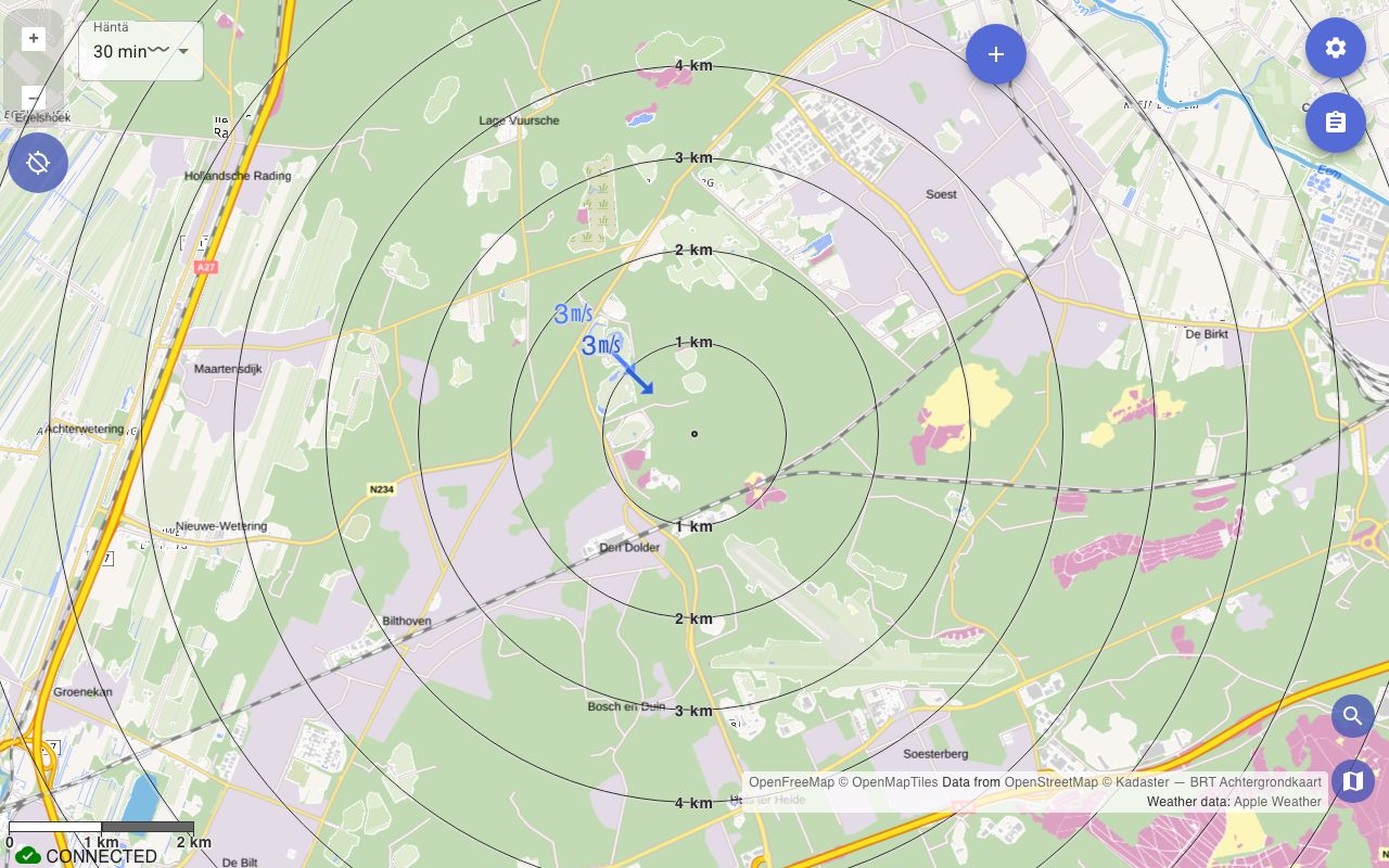
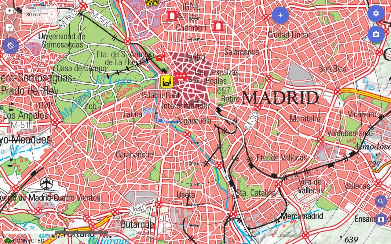
Map samples
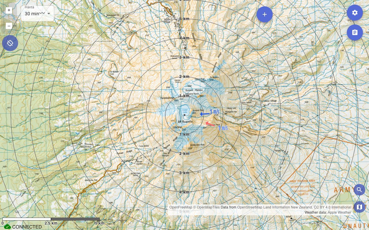
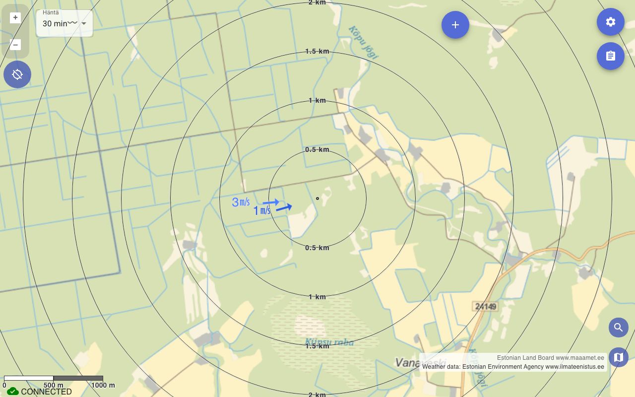
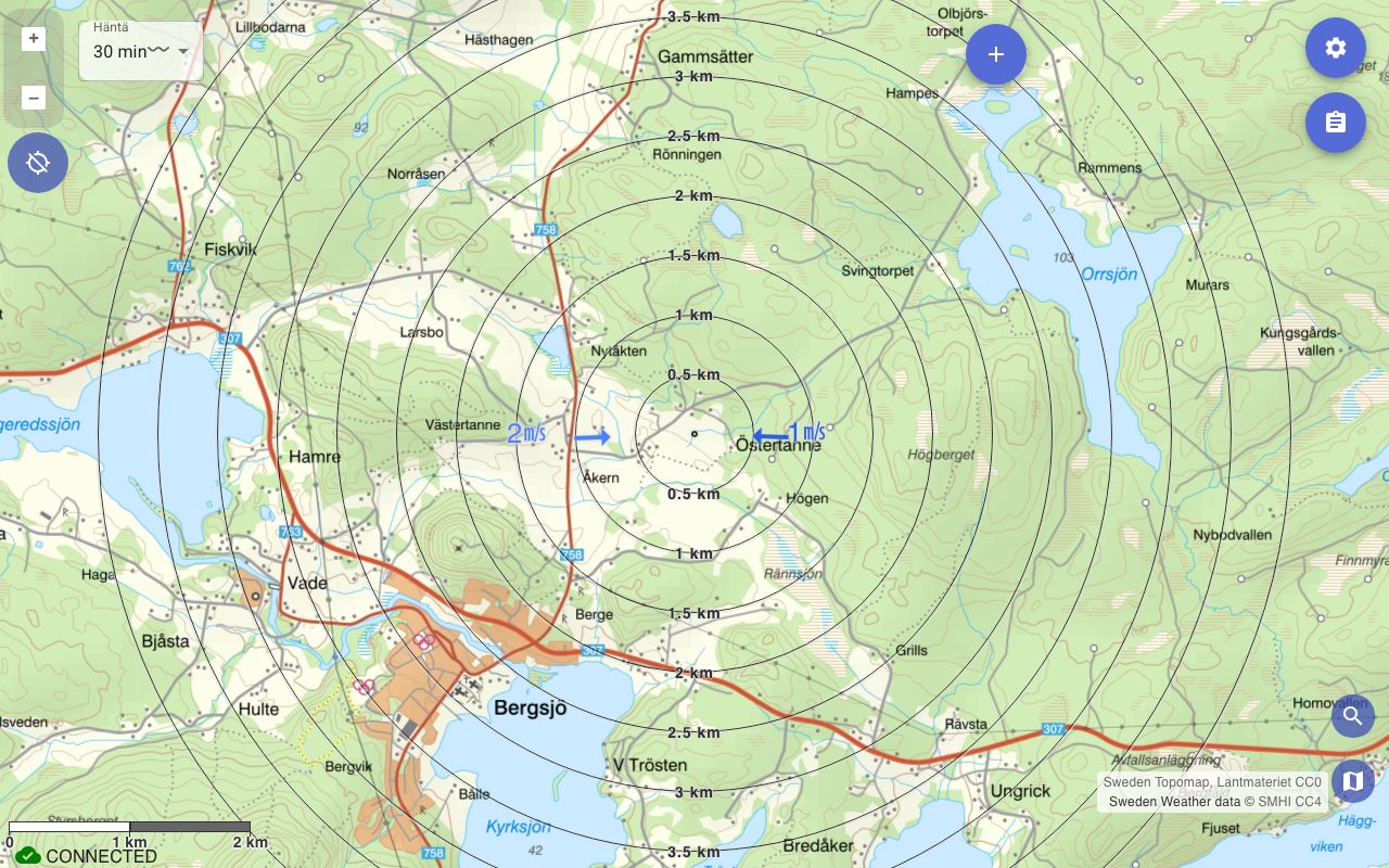
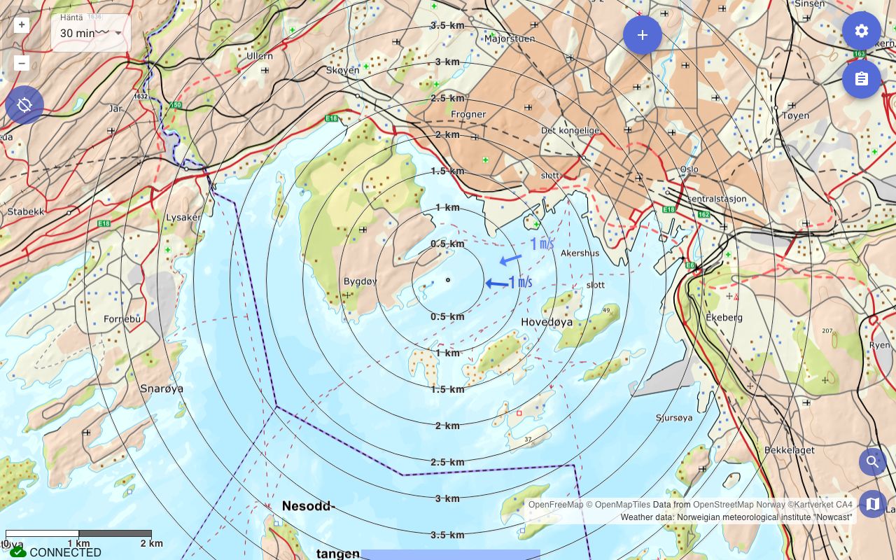
Map cache
Advanced: offline maps
Karttahimmeli caches map tiles automatically while you browse. Before field deployment, browse operation area in both terrain and Mapant levels. Then maps work even without network.
If app reports empty cache, browse area calmly before departure.
Karttahimmeli works without network if required map tiles were cached earlier.
Using the app offline
Karttahimmeli starts and opens recent operations even without a network connection. The map state is restored to the situation from when the operation was last joined with network — the very latest changes appear only when connectivity returns.
Location sharing and making markings can continue even in dead zones. Queued positions and markings are sent automatically when the connection is restored.
In dead zones
If you know the operation area has poor coverage, open the operation and browse the map area before departure. The tiles will be cached and the app will work fully without a network connection.