Making Annotations on the Map
Adding a New Observation  
A new observation is marked on the map by pressing the plus button. Then, select the type of observation and mark the observation at the desired location on the map.
When your location tracking is on, the map will always default to your GPS location when adding an observation. This way, you don't have to worry about where to move the map in a hurry.

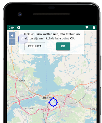
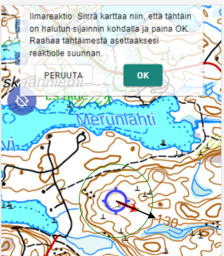
Additional information such as the direction of the observation, like the direction of a reaction or a track, can be specified for the observation. If your phone has a compass, you can point in the direction of the observation and click the crosshair. If there is no compass, drag the direction circle out from the crosshair.
Drawing Areas and Plans on the Map
You can draw areas and (route) plans on the map. The drawing tools can be found through the observation addition menu. When drawing an area, the area size is also displayed, and when drawing a route plan, the total length and the length of the last segment are shown.
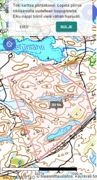
Names visible on the map and free-form comments can be added to the drawn items by clicking the drawn area.
Note! You can only access the additional information of plans and areas when the map is zoomed out to a coarse level of the terrain map, so that clicking on observation points at precise zoom levels is easier and does not unnecessarily open the area information.
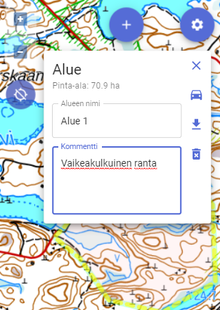
You can choose the color of the plan from four different options. You can use the colors as you wish.
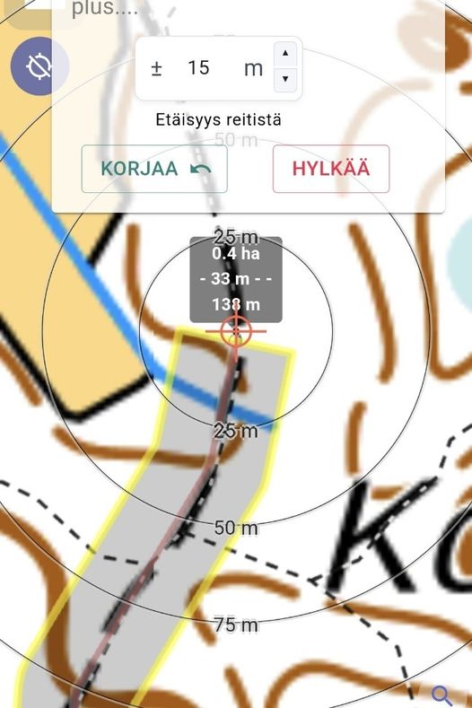
Drawing an Area Based on a Route
The "route area" drawing function facilitates the drawing of route patrols or other similar areas. At the same time, the assumed search depth around the route is defined. However, note that when defining the depth, Karttahimmeli does not take into account the actual width of, for example, a road when drawing the area. For a 20m wide road, it is advisable to draw a wider route than +-5m.
Viewing Annotations
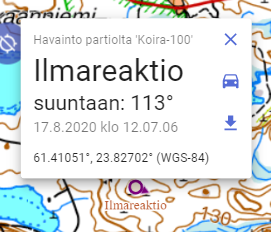
Clicking on a pin on the map provides more information:
- The time, type, and other additional information of the observation/annotation.
- The calculated accuracy of the location determination: with 95% accuracy, the patrol has been within the circle of this radius. A 99% probability is obtained by multiplying the reported accuracy by three. Note: In addition to the calculated accuracy, signal reflections in, for example, slopes or near buildings may shift the location by tens of meters!
Viewing Overlapping Annotations
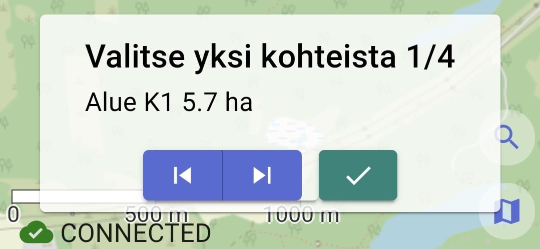
Sometimes there are multiple overlapping areas, plans, or observations on the map. In this case, Karttahimmeli displays a selection window where you can find the desired annotation by selecting with the arrows.
