Maps
Karttahimmeli automatically selects the most suitable map depending on the zoom level. The highest level is the vector data from the National Land Survey of Finland, in between, the OpenStreetMap map is shown, in the middle levels, the terrain map data from the National Land Survey of Finland is displayed, and the most detailed map level is an orienteering map-like data automatically generated from the National Land Survey of Finland's laser scanning data and map data AntMap or pullautuskartta, which is supplemented with NLS vector data.
You can use the map selection button found in the bottom right corner to choose your preferred map style.
The maps are supplemented with paths from OpenStreetMap, which have been diligently added to the map by mountain bikers and trail runners. See Trailmap If you think there are paths missing from the map, you can add them yourself to OpenStreetMap. The smallest "highway=path" paths are included in the map. Instructions for editing the OSM map can be found in the Trailmap blog or on YouTube.
Aerial Images
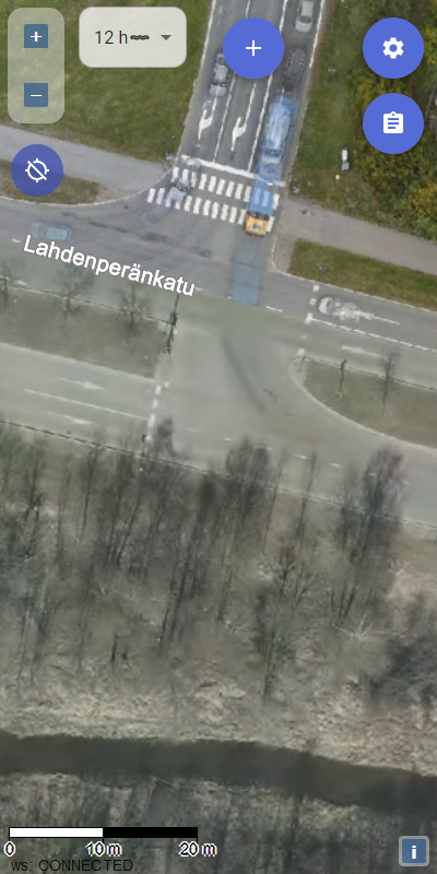
For urban search planning, detailed aerial image data is also available for the largest cities. The aerial image appears when zooming to a very detailed level.
 Example aerial image © City of Tampere